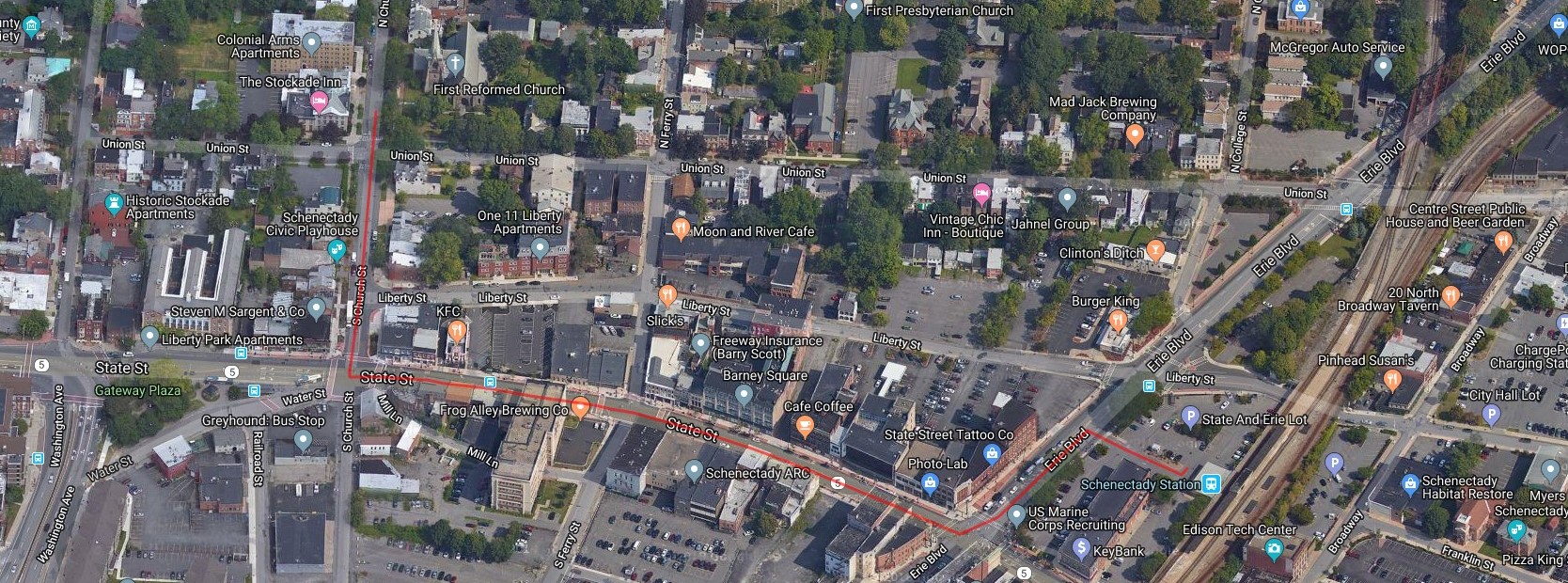
As I was reading the Buffalo station thread, I found myself wanting to look at the rail routes being discussed on a map of the city. However, I find Google Maps almost totally useless for this, as they depict rail lines in a very thin faint gray line - which I find very difficult to detect - much less follow among everything else, especially their highlighted paid-for advertising locations.
For some time I've used a site named Ride With GPS for planning and documenting my bicycle tours. The benefit for me is that I can map out routes very quickly, with satellite view and other alternate map backgrounds available. I would often use street view to tell if a small road was paved or dirt. Although I sometimes felt I could create a most excellent 5-day tour remotely, I would always drive the route the previous fall to ensure that everything would work. The benefit to the riders was that they could download the map and "cues" onto the Garmin GPS device mounted to their handlebars, without needing the traditional cyclist cue arrows painted on the pavement.
I've previously used RWGPS for laying out walking routes and other non-cycling functions. One pragmatic note is that you can use the "Follow Roads" function if you are in fact on roads or bike paths, but if it is a RR track or anything else not mapped by Google then you need to use the "Draw Lines" function, which requires clicking to establish the route through Control Points.
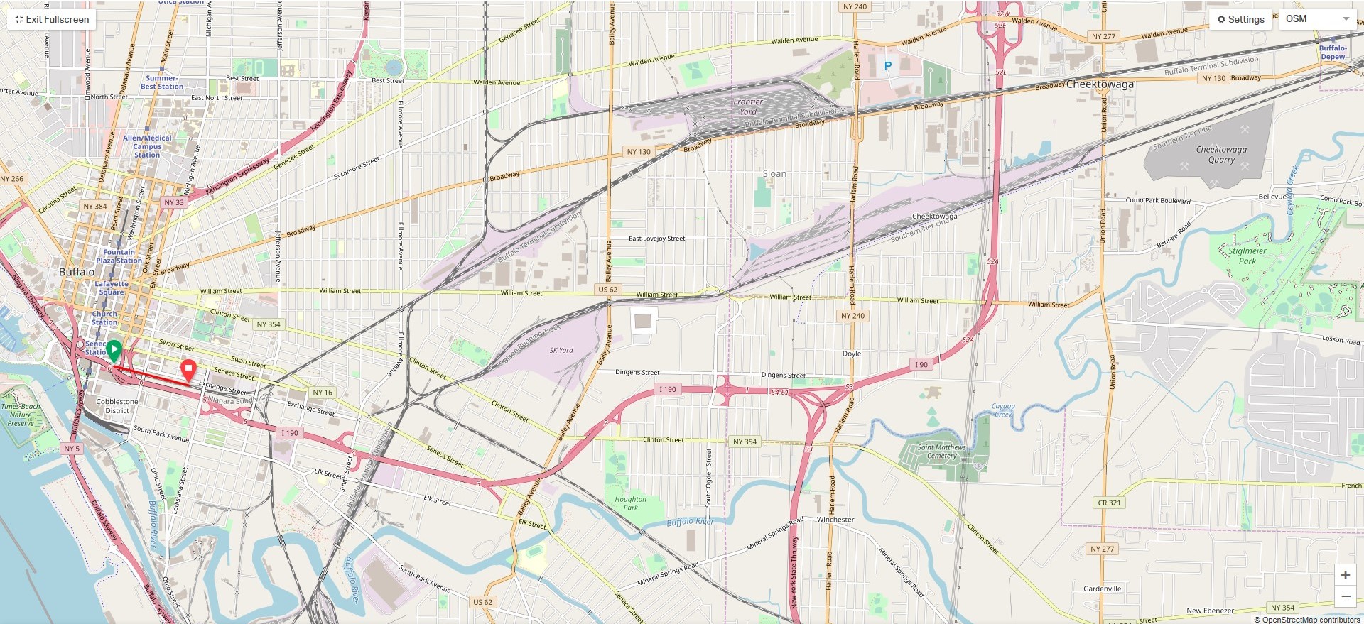
Also note that only this OSM map background shows RR tracks so clearly, although if you create - And Save . . . WAIT for the processing to end, and then select View, a route you can later look at in in the standard Map or Satellite views. If trying to follow track I suggest doing this at least once at any curve, and you can place many of them in an arc OR go back later and CAREFULLY adjust your C.P.'s to create additional C.P.'s to round the curve more smoothly, as the line is like a stretchable rubber band - just beware it snapping back at you!
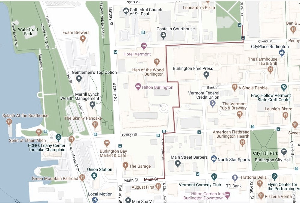
I will be attaching an image of a map I just created showing Buffalo's Exchange St. and Depew stations at the extreme bottom left and top right. What I particularly like is the clarity of the rail lines - certainly as compared to Google ;-). Basic use is free, and the next level up ( ~$6/month I think) allows functions such as adding POI's (Points of Interest) to the map. Note that this software was designed to assist cyclists and can easily be adapted for other functions, but Please don't ask the vendor to make changes to suit AU users! There are many tutorials and learning aids on the site. I'm not a techie but got used to the basic functions rather quickly, although as with any software there will be many small learning lessons along the way.
I realize there may well be sites with more up to date RR maps, but doubt they show them in the context of the rest of the environment, or allow you to quickly jump between base map styles. There are side and bottom panels you can collapse individually, or use the subtle Full Screen box.
If curious, I believe you can create an account, then go to my link and save it as your own file and start playing - er, drawing. For a start, you might try grabbing the right end of the red line and extending it to Depew - I had to draw something to save it as a Route. There is a handy Undo button on the bottom right. However - if you ever get in a tangled situation where things keep getting worse, just back out without Saving - you'll lose some work (perhaps Save often as you go along), but you'll quickly find how easy it "Can" be to work with.
https://ridewithgps.com/routes/30945906


